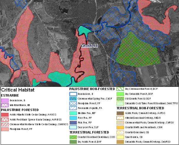
Connecticut Critical Habitats depicts the classification and distribution of twenty-five rare and specialized wildlife habitats in the state. It represents a compilation of ecological information collected over many years by state agencies, conservation organizations and many individuals. Examples of critical habitats include Acidic Atlantic White Cedar Swamps, Sand Barrens, Dry Subacidic Forests and Intertidal Marshes. Connecticut Critical Habitats is the result of a project which took place from 2007-2009, to create habitat maps to be used in land use planning and natural resource protection. Critical habitats range in size from areas less than 1 acre to areas that are 10's of acres in extent. Connecticut Critical Habitats is best represented when viewed with high resolution imagery at scales between 1:2,000 and 1:12,000.
Connecticut Critical Habitats provides the identification and distribution of a subset of important wildlife habitats identified in the Connecticut Comprehensive Wildlife Conservation Strategy. Connecticut Critical Habitats can be used in conjunction with other environmental and natural resource information to provide a more thorough understanding of the physical characteristics of each habitat. The spatial relationships between these areas and data such as land ownership and past, present and projected land use can be analyzed. The Connecticut Critical Habitats can serve to highlight ecologically significant areas and to target areas of species diversity for land conservation and protection. Biologists may use this data to target further research on associated plant and animal species.
Connecticut Critical Habitats is not a comprehensive map of all critical habitat types in Connecticut. It represents a subset of the key habitats of greatest conservation need identified in Connecticut's Comprehensive Wildlife Conservation Strategy. Sites were mapped according to their known distribution. For some habitats the distribution may not be complete since no state-wide exhaustive surveys have been conducted. Most critical habitat sites were not field visited and publicly available oblique imagery such as the Bing Maps web mapping service was used as a surrogate for field investigation. Caution is advised when using this information without field verifying the habitat delineation and characterization for accuracy. Since many of these areas occur on private property, visiting these sites will require permission from the landowner for access. The recommended scale for viewing Critical Habitats is 1:2,000 to 1:12,000. Displaying Connecticut Critical Habitats at map scales larger and more detailed than 1:2,000 scale may result in minor locational differences and inaccuracies.