DOT Scenic Land Strips
Description
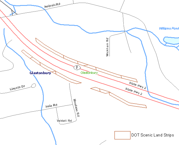
Department of Transportation (DOT) Scenic Land Strips contains parcels, generally long narrow strips of land, that were purchased by the DOT under the Federal Highway Beautification Act of 1965. The purpose of this program was to reduce the proliferation of billboards and other unsightly structures or facilities along federally designated highways. There are 33 parcels of land located along seven highways in eight towns.
Highways and the corresponding towns where DOT Scenic Lands are located include:
- U. S. Route 44 in Norfolk
- Interstate 91 in Meriden
- Interstate 84 in Plainville
- Interstate 395 (formerly State Route 52) in Killingly
- State Route 2 in Glastonbury
- State Route 8 in Litchfield
- State Route 9 in Essex and Deep River
Purpose
Use DOT Scenic Land Strips to view the locations of approximately 47 acres of land acquired by DOT under the Federal Highway Beautification Act of 1965.
Use Limitations
This does not include all land owned by DOT. The source map scale is unknown. No specific scale is recommended. This data should not be used for legal boundary purposes.
Dataset Information
- Status - This data is complete. No updates are planned.
- Date of Data - 2009
- Map Scale and Accuracy - The source map scale is unknown.
Additional Documentation
- GIS Metadata - Contains technical documentation describing the DOT Scenic Land Strip data and the data sources, process steps, and standards used to collect, digitize, and store this information in a geographic information system (GIS).
Originators
GIS Data Download
- Connect GIS and AutoCAD software to this information online using the Open Space CT ECO Map Service.