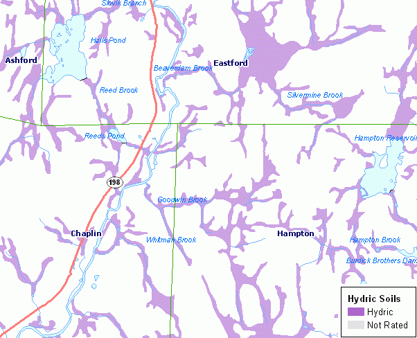
Hydric soils are defined as soils that formed under conditions of saturation, flooding, or ponding long enough during the growing season to develop anaerobic conditions in the upper part. Under natural conditions, these soils are either saturated or inundated long enough during the growing season to support the growth and reproduction of hydrophytic vegetation. For additional documentation including a description of the map legend for Hydric Soils, refer to the CT ECO Complete Resource Guide for Hydric Soils.
All soil information included in the CT ECO maps and map viewers is from the Natural Resources Conservation Service (NRCS) Web Soil Survey (WSS), which is based on information originally published on the set of Soil Survey quarter quadrangle maps that cover Connecticut.
Hydric soil have a number of agricultural and nonagricultural applications. These include assistance in land-use planning, conservation planning, and assessment of potential wildlife habitat. A combination of the hydric soil, hydrophytic vegetation, and hydrology properties define wetlands as described in the National Food Security Act Manual (Soil Conservation Service, 1994) and the Corps of Engineers (COE) Wetlands Delineation Manual (Environmental Laboratory, 1987) and COE Regional Supplements for the Clean Water Act Section 404 permit program. Section 404 requires a permit from the COE for the discharge of dredged or fill material into the waters of the United States, including wetlands. Therefore, an area that meets the hydric soil definition must also meet the hydrophytic vegetation and wetland hydrology definitions in order for it to be correctly classified as a jurisdictional wetland.
This data set is not designed for use as a primary regulatory tool in permitting or siting decisions, but may be used as a reference source. This is public information and may be interpreted by organizations, agencies, units of government, or others based on needs; however, they are responsible for the appropriate application. Federal, State, or local regulatory bodies are not to reassign to the Natural Resources Conservation Service any authority for the decisions that they make. The Natural Resources Conservation Service will not perform any evaluations of these maps for purposes related solely to State or local regulatory programs.