Streets
Description
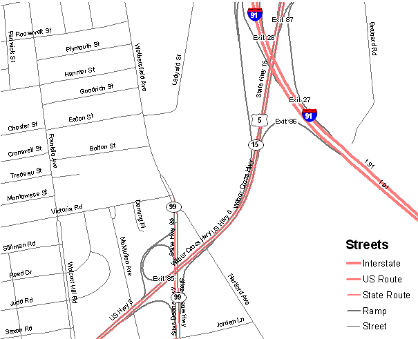
Sreets includes the location of all Interstate, U.S. route, State route, and local roads in Connecticut along with route number and street name information.
Purpose
Use Streets with other reference data such as airports, railroads, water bodies, and orthophotography to create base map information for use with other geographic environmental and natural resource information.
Use Limitations
Connecticut State agencies such as the Department of Environmental Protection and Department of Public Safety are licensed by
TeleAtlas, Inc. to use this information. The horizontal accuracy of the street features is approximately four to six meters Root Mean Square Error, which is about the width of one lane of traffic. Their location closely match transportation features shown on orthophotography.
Dataset Information
- Status - Updated annually.
- Date of Data - December, 2008
- Map Scale and Accuracy - Source map scale is better than 1:24,000 (1 inch = 2,000 ft).
Originators