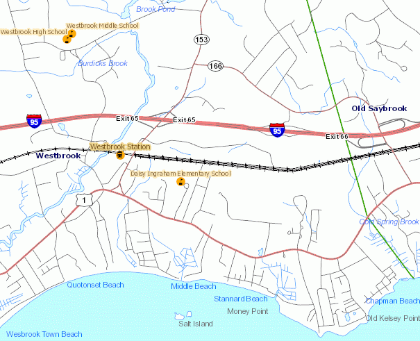
Connecticut Sreets is a street map of Connecticut that includes the location of Interstate, U.S. route, State route, and local roads together with railroads, airports, waterbodies and town boundaries. This information was compiled from various data sources at different times and at different map scales. Data sources are listed in Additional Documention section below. The data may not be complete or current.
Connecticut Streets is base map information for use with other environmental and natural resource information compiled at 1:24,000 scale (1 inch = 2,000 feet).
Information may not be complete or current.
The airport, railroad, waterbody, watercourse, and town line information is largely based on information included on the most recently published 1:24,000-scale U.S. Geological Survey (USGS) topopgraphic quadrangle maps. Publication dates of USGS topographic quadrangle maps vary. Depending on the quadrangle area, the quadrangle maps used to compile these data were published from 1968 to 1984. The location and shape (geometry) of airport, railroad, waterbody, watercourse, and town line features orginating from these maps may not exactly match information shown in aerial photography primarily due to differences in spatial accuracy and data collection dates. For example, the course of a stream delineated at a source map scale accuracy of 1:24,000 scale (1 inch = 2,000 feet) may not line up exactly with information shown in more recently captured aerial photography. Typically, information compiled on older 1:24,000-scale USGS topographic quadrangle maps lacks the spatial accuracy and recentness of the 2004 orthophotography, for example.
The Interstate, U.S. route, State route, and local road information orginates from TeleAtlas, Inc. Connecticut State agencies such as the Department of Environmental Protection and Department of Public Safety are licensed by TeleAtlas, Inc. to use this street information. The horizontal accuracy of the street features is approximately four to six meters Root Mean Square Error, which is about the width of one lane of traffic. Their location closely match transportation features shown on orthophotography.
Airports, Named Waterbody, Waterbody, Railroads, Town Lines:
Streets