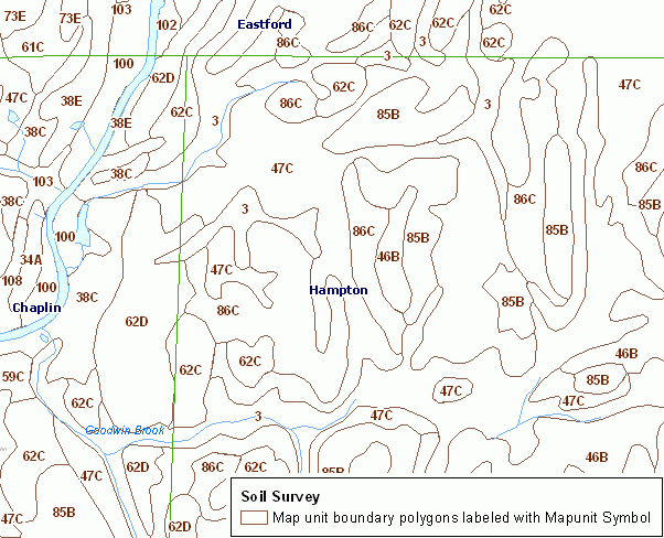
The Soil Survey Geographic (SSURGO) database provides information on the location, distribution, and characteristics of various kinds of soils on the landscape as part of the National Cooperative Soil Survey. For additional documentation including a description of the map legend for Soils, refer to the CT ECO Complete Resource Guide for Soils.
All soil information included in the CT ECO maps and map viewers is from the Natural Resources Conservation Service (NRCS) Web Soil Survey (WSS), which is based on information originally published on Soil Survey quarter quadrangle maps that cover Connecticut. Refer to the NRCS publication, Soil Survey of the State of Connecticut, for a complete description of each soil map unit.
The survey was made to provide information about the soils and miscellaneous areas in the survey area. The information includes a description of the soils and miscellaneous areas and their location and a discussion of their suitability, limitations, and management for specified uses. Interpretations are dynamic and periodically revised to reflect improved soils data, new technology and the needs of the soil survey users. In Connecticut, there are approximately 70 soil properties and 90 interpretations that are contained within the soils database.
This data set is not designed for use as a primary regulatory tool in permitting or siting decisions, but may be used as a reference source. This is public information and may be interpreted by organizations, agencies, units of government, or others based on needs; however, they are responsible for the appropriate application. Federal, State, or local regulatory bodies are not to reassign to the Natural Resources Conservation Service any authority for the decisions that they make. The Natural Resources Conservation Service will not perform any evaluations of these maps for purposes related solely to State or local regulatory programs.